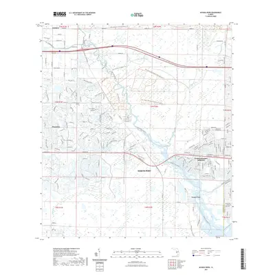
2021 Map of Myakka River
USGS Topo · Published 2021About this map
North Port and the iconic Warm Mineral Springs anchor this coastal Florida landscape, where suburban residential networks meet vast natural preserves. The intricate street patterns of the Plantation community contrast with the extensive trail systems of the Myakka State Forest and the T Mabry Carlton Jr Memorial Preserve. The Myakka River serves as the central artery of the quadrangle, joined by substantial waterways like the Myakka River South and Deer Prairie Creek.
Find a feature on this map
181 named features on this map. Tap any name to fly to it.
Don’t see what you’re looking for? This feature index may not catch every label — zoom into the map to look around manually.
Map Details
Editions of this 2021 Myakka River Map
This is the sole edition of this map. No revisions or reprints were ever made.
Other maps of this area
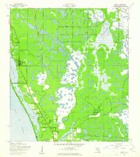
1943 · Laurel
USGS Topo · 1:24,000
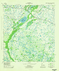
1944 · Lower Myakka Lake
USGS Topo · 1:31,680
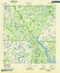
1944 · Myakka River
USGS Topo · 1:31,680
1944 · Laurel
USGS Topo · 1:31,680
1944 · Venice
USGS Topo · 1:31,680
1956 · Murdock
USGS Topo · 1:24,000
1956 · Murdock NW
USGS Topo · 1:24,000
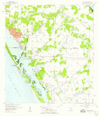
1956 · Englewood
USGS Topo · 1:24,000

1956 · Tampa
USGS Topo · 1:250,000
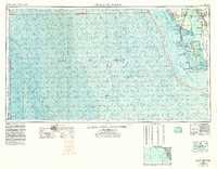
1956 · Charlotte Harbor
USGS Topo · 1:250,000