
1920 Map of Mykawa
USGS Topo · Published 1920About this map
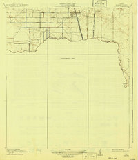
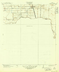
Mykawa serves as the primary hub on this preliminary survey, situated at the junction of the Gulf Colorado and Santa Fe railroad and several arterial wagon roads. The landscape is defined by the winding course of Clear Creek, which forms the Harris Co Brazoria Co Boundary Line. This 1915 survey preserves the early infrastructure of the coastal prairie, including the Minnetex School and a network of routes like the Houston and Chocolate Road and Houston and Pearland Road.
Find a feature on this map
9 named features on this map. Tap any name to fly to it.
Don’t see what you’re looking for? This feature index may not catch every label — zoom into the map to look around manually.
Map Details
Editions of this 1920 Mykawa Map
3 editions found
Other maps of this area

1915 · Bellaire
USGS Topo · 1:24,000

1915 · Park Place
USGS Topo · 1:24,000

1915 · Deepwater
USGS Topo · 1:24,000

1916 · Genoa
USGS Topo · 1:24,000

1919 · Deepwater
USGS Topo · 1:31,680

1920 · Genoa
USGS Topo · 1:31,680

1920 · Almeda
USGS Topo · 1:31,680

1921 · Bellaire
USGS Topo · 1:31,680

1922 · Park Place
USGS Topo · 1:31,680

1929 · Algoa
USGS Topo · 1:24,000