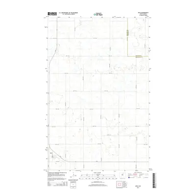
2014 Map of Mylo
USGS Topo · Published 2014About this map
Mylo sits in the southwestern corner of this survey, anchored by the intersection of Nd-30 and Nd-66. The landscape is defined by the prairie pothole region's characteristic topography, with hundreds of small wetlands and depressions scattered across the agricultural grid. This 2014 record shows a strictly organized section-line road system, with routes like 86th St NE and 91st St NE partitioning the terrain. A notable geopolitical boundary, the Rolette Co Towner Co line, runs through the northeastern quadrant, marking the division between these two North Dakota counties. The tiny settlement of Mylo remains the primary hub for the area, centered on its short Main St corridor and serving the surrounding rural farmsteads.
Find a feature on this map
15 named features on this map. Tap any name to fly to it.
Don’t see what you’re looking for? This feature index may not catch every label — zoom into the map to look around manually.
Map Details
Editions of this 2014 Mylo Map
This is the sole edition of this map. No revisions or reprints were ever made.
Other maps of this area

1953 · Devils Lake
USGS Topo · 1:250,000

1956 · Devils Lake
USGS Topo · 1:250,000

1968 · Belcourt
USGS Topo · 1:24,000

1970 · Hansboro SW
USGS Topo · 1:24,000

1970 · Rolla
USGS Topo · 1:24,000

1971 · Bisbee South
USGS Topo · 1:24,000

1971 · Island Lake
USGS Topo · 1:24,000

1971 · Mylo
USGS Topo · 1:24,000

1971 · Bisbee North
USGS Topo · 1:24,000

1971 · Mylo NW
USGS Topo · 1:24,000