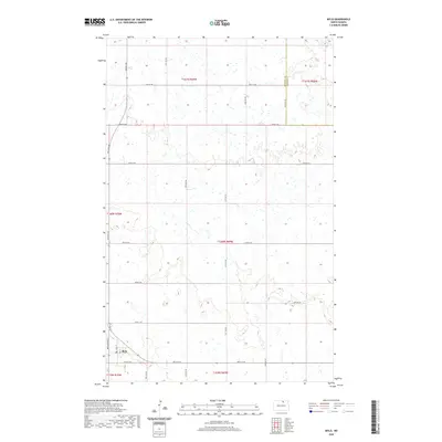
2020 Map of Mylo
USGS Topo · Published 2020About this map
Mylo sits in the southwestern corner of this prairie landscape, where the local street grid is anchored by Main St. This Rolette County settlement is positioned within a vast agricultural township system, bordered to the east by the Rolette Co Towner Co boundary. The terrain is characterized by a high density of small wetlands and depressions typical of the Northern Plains, which dictates the strict north-south and east-west orientation of the rural road network. Significant thoroughfares like Airport Rd and 48th Ave NE provide the primary connectivity across the townships of t161n r69w and t160n r69w. While the area is dominated by open fields and seasonal water bodies, the concentrated layout of Mylo reflects the traditional development of small railway-adjacent prairie towns in North Dakota.
Find a feature on this map
24 named features on this map. Tap any name to fly to it.
Don’t see what you’re looking for? This feature index may not catch every label — zoom into the map to look around manually.
Map Details
Editions of this 2020 Mylo Map
This is the sole edition of this map. No revisions or reprints were ever made.
Other maps of this area

1953 · Devils Lake
USGS Topo · 1:250,000

1956 · Devils Lake
USGS Topo · 1:250,000

1968 · Belcourt
USGS Topo · 1:24,000

1970 · Hansboro SW
USGS Topo · 1:24,000

1970 · Rolla
USGS Topo · 1:24,000

1971 · Bisbee South
USGS Topo · 1:24,000

1971 · Island Lake
USGS Topo · 1:24,000

1971 · Mylo
USGS Topo · 1:24,000

1971 · Bisbee North
USGS Topo · 1:24,000

1971 · Mylo NW
USGS Topo · 1:24,000