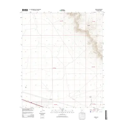
2013 Map of Myndus
USGS Topo · Published 2013About this map
The Good Sight Mountains dominate the northeastern landscape of this southwestern New Mexico region, overlooking the expansive Lewis Flats to the west. This territory in the early 21st century remains largely open rangeland, marked by isolated livestock and aviation outposts such as the Lazy E Ranch and the Solo Ranch Airport. The mapping of township lines like t22s r6w and t24s r5w provides the legal framework for these sprawling land holdings.
Find a feature on this map
15 named features on this map. Tap any name to fly to it.
Don’t see what you’re looking for? This feature index may not catch every label — zoom into the map to look around manually.
Map Details
Editions of this 2013 Myndus Map
This is the sole edition of this map. No revisions or reprints were ever made.
Other maps of this area

1899 · Deming
USGS Topo · 1:125,000

1915 · Deming
USGS Topo · 1:125,000

1955 · Las Cruces
USGS Topo · 1:250,000

1958 · Las Cruces
USGS Topo · 1:250,000

1964 · Florida
USGS Topo · 1:24,000

1964 · Florida Gap
USGS Topo · 1:24,000

1965 · Carne
USGS Topo · 1:24,000

1972 · Myndus
USGS Topo · 1:24,000

1972 · Cambray
USGS Topo · 1:24,000

1972 · Good Sight Peak NE
USGS Topo · 1:24,000