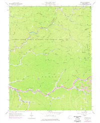
1963 Map of Myrtle
USGS Topo · Published 1977About this map
Pigeon Creek and its numerous branching forks define the landscape of this Mingo County region, where coal extraction and rail transport shaped the mid-century economy. The Norfolk and Western railway follows the winding path of Pigeon Creek, connecting settlements like Belo and Myrtle. To the east, industrial activity is marked by a Strip Mine and Mine Dump near Scarlet, where the Chesapeake and Ohio line terminates.
Find a feature on this map
80 named features on this map. Tap any name to fly to it.
Don’t see what you’re looking for? This feature index may not catch every label — zoom into the map to look around manually.
Map Details
Editions of this 1963 Myrtle Map
2 editions found
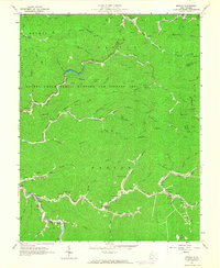
Other maps of this area

1887 · Warfield
USGS Topo · 1:125,000

1891 · Warfield
USGS Topo · 1:125,000

1909 · Matewan
USGS Topo · 1:48,000

1910 · Holden
USGS Topo · 1:48,000

1910 · Naugatuck
USGS Topo · 1:48,000

1912 · Naugatuck
USGS Topo · 1:62,500

1912 · Holden
USGS Topo · 1:62,500

1915 · Williamson
USGS Topo · 1:48,000

1915 · Naugatuck
USGS Topo · 1:48,000

1915 · Matewan
USGS Topo · 1:48,000