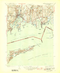
1944 Map of Mystic
USGS Topo · Published 1944About this map
The Mystic River serves as the focal point for this coastal survey, dividing the village of Mystic while connecting the interior Mystic Reservoir to the deep waters of Mystic Harbor. The 1940s landscape is defined by its maritime infrastructure, including the Stonington Outer Breakwater Lighthouse and the vital corridor of the New York New Haven and Hartford railroad. This line hugs the shoreline through Noank and Lords Point, crossing over several inlets including Quiambaug Cove.
Find a feature on this map
89 named features on this map. Tap any name to fly to it.
Don’t see what you’re looking for? This feature index may not catch every label — zoom into the map to look around manually.
Map Details
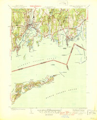
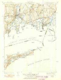
Editions of this 1944 Mystic Map
3 editions found
Other maps of this area

1889 · Stonington
USGS Topo · 1:62,500

1892 · New London
USGS Topo · 1:62,500

1893 · Stonington
USGS Topo · 1:62,500

1893 · New London
USGS Topo · 1:62,500

1903 · Gardiners Island
USGS Topo · 1:62,500

1904 · Gardiners Island
USGS Topo · 1:62,500

1904 · Montauk
USGS Topo · 1:62,500

1921 · Gardiners Island
USGS Topo · 1:62,500

1921 · New London
USGS Topo · 1:62,500

1921 · Stonington
USGS Topo · 1:62,500