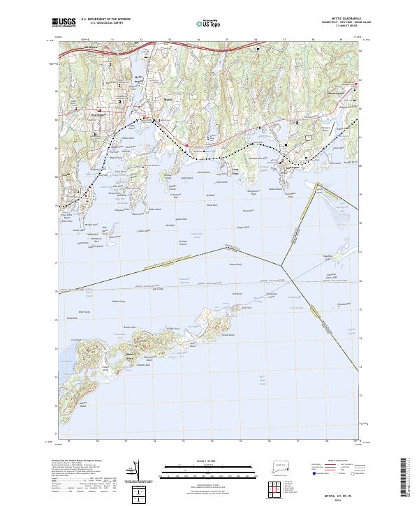
Loading...
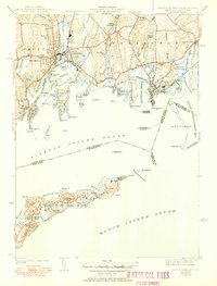
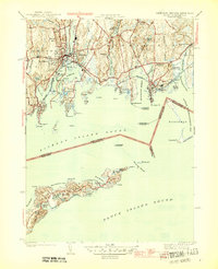
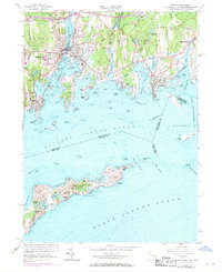
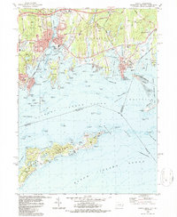
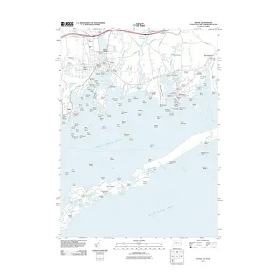
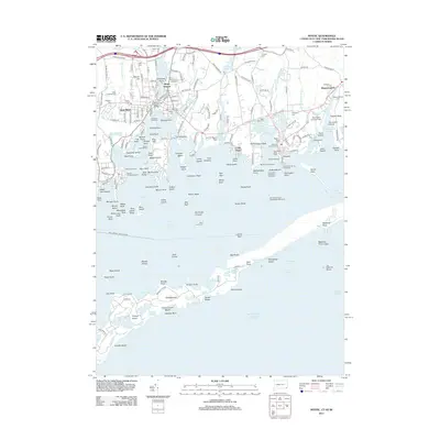
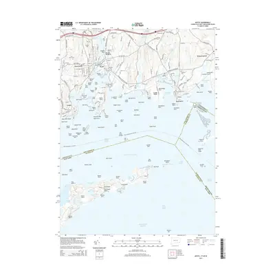
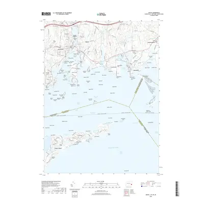
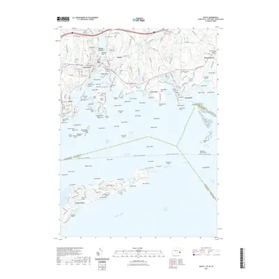
Loading map...1944 Map of Mystic
USGS Topo · Published 1951About this map
The maritime village of Stonington and the shipbuilding hub of Mystic anchor this coastal survey, showing the Connecticut shoreline during the late 1940s. The landscape is defined by its deep connectivity to Fishers Island Sound, with the New York New Haven and Hartford RR tracing the coast and bridging the Mystic River. The map highlights the area's intricate geography of coves and points, including Mason Island and the residential clusters at West Mystic and Noank.
Find a feature on this map
93 named features on this map. Tap any name to fly to it.
Don’t see what you’re looking for? This feature index may not catch every label — zoom into the map to look around manually.
Map Details
Date Portrayed1944
Date Published1951
PublisherU.S. Geological Survey
Map TypeTopographic
Scale1:31,680
Physical Dimensions15.5 x 20.3 inches
Editions of this 1944 Mystic Map
3 editions found

Historical Maps of Groton Through Time
9 maps found
Featured Locations
Source Details
SourceU.S. Geological Survey
CopyrightPublic Domain