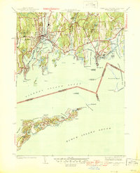
1944 Map of Mystic
USGS Topo · Published 1944About this map
The coastal landscapes of Groton and Stonington are frozen here in the mid-1940s, revealing a complex shoreline of coves, necks, and islands. The Mystic River serves as a central artery, separating the established settlements of Mystic and West Mystic just before the era of major post-war development. Maritime activity is evident through numerous navigational markers, including the Stonington Breakwater Lighthouse and the remote Latimer Reef Lighthouse in Fishers Island Sound.
Find a feature on this map
91 named features on this map. Tap any name to fly to it.
Don’t see what you’re looking for? This feature index may not catch every label — zoom into the map to look around manually.
Map Details
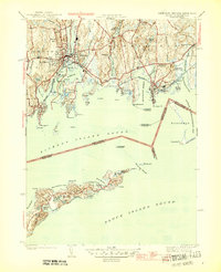
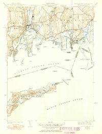
Editions of this 1944 Mystic Map
3 editions found
Other maps of this area

1889 · Stonington
USGS Topo · 1:62,500

1892 · New London
USGS Topo · 1:62,500

1893 · Stonington
USGS Topo · 1:62,500

1893 · New London
USGS Topo · 1:62,500

1903 · Gardiners Island
USGS Topo · 1:62,500

1904 · Gardiners Island
USGS Topo · 1:62,500

1904 · Montauk
USGS Topo · 1:62,500

1921 · Gardiners Island
USGS Topo · 1:62,500

1921 · New London
USGS Topo · 1:62,500

1921 · Stonington
USGS Topo · 1:62,500