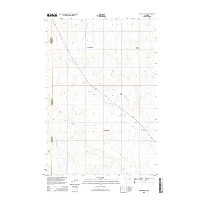
2014 Map of N Bar Coulee
USGS Topo · Published 2014About this map
MT-59 cuts a diagonal path through this corner of Rosebud and Custer counties, following the drainage of North Sunday Creek. The landscape is defined by its deep coulees and seasonal watercourses, reflecting the semi-arid character of eastern Montana. Named terrain features like N Bar Coulee and Owens Coulee offer specific points of reference for local land history and ranching boundaries. Small seasonal tributaries including Alkali Creek, Grimes Creek, and Bow and Arrow Creek weave through the sections, highlighting the natural water management patterns essential to this high plains environment. The map details the transition across the Rosebud Co Custer Co line, providing a precise look at the township and range divisions of t10n r45e and t9n r45e.
Find a feature on this map
12 named features on this map. Tap any name to fly to it.
Don’t see what you’re looking for? This feature index may not catch every label — zoom into the map to look around manually.
Map Details
Editions of this 2014 N Bar Coulee Map
This is the sole edition of this map. No revisions or reprints were ever made.
Other maps of this area

1953 · Miles City
USGS Topo · 1:250,000

1954 · Forsyth
USGS Topo · 1:250,000

1957 · Miles City
USGS Topo · 1:250,000

1957 · Forsyth
USGS Topo · 1:250,000

1958 · Miles City
USGS Topo · 1:250,000

1958 · Forsyth
USGS Topo · 1:250,000

1968 · Big Hill
USGS Topo · 1:24,000

1968 · Butterfly Creek
USGS Topo · 1:24,000

1968 · Hathaway NW
USGS Topo · 1:24,000

1969 · Horse Creek Hill
USGS Topo · 1:24,000