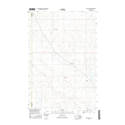
2017 Map of N Bar Coulee
USGS Topo · Published 2017About this map
The Rosebud Co Custer Co boundary line divides this prairie landscape, where the seasonal drainage of N Bar Coulee gives way to a network of intermittent creek beds. The drainage patterns of Grimes Cr and Alkali Cr define the northern terrain, while N Sunday Cr meanders through the central and southern sections. These waterways are characteristic of the high plains, carving distinct paths like Owens Coulee through the township of t9n r45e. Human infrastructure is sparse and functional, primarily consisting of Crow Rock Rd, which cuts diagonally across the land to connect these remote grazing areas. Further south, Bow and Arrow Cr marks the lower reaches of the map, illustrating the natural flow of the watershed before it crosses into neighboring townships.
Find a feature on this map
10 named features on this map. Tap any name to fly to it.
Don’t see what you’re looking for? This feature index may not catch every label — zoom into the map to look around manually.
Map Details
Editions of this 2017 N Bar Coulee Map
This is the sole edition of this map. No revisions or reprints were ever made.
Other maps of this area

1953 · Miles City
USGS Topo · 1:250,000

1954 · Forsyth
USGS Topo · 1:250,000

1957 · Miles City
USGS Topo · 1:250,000

1957 · Forsyth
USGS Topo · 1:250,000

1958 · Miles City
USGS Topo · 1:250,000

1958 · Forsyth
USGS Topo · 1:250,000

1968 · Big Hill
USGS Topo · 1:24,000

1968 · Butterfly Creek
USGS Topo · 1:24,000

1968 · Hathaway NW
USGS Topo · 1:24,000

1969 · Horse Creek Hill
USGS Topo · 1:24,000