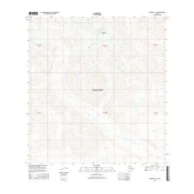
2016 Map of Nabesna A-1 SW
USGS Topo · Published 2016About this map
Wrangell-Saint Elias National Preserve encompasses most of this landscape, dominated by the high elevations of the Nutzotin Mountains. The terrain is defined by severe relief and active hydrological features, including the Carl Glacier in the northwest and several glacial-fed streams. The drainage patterns of Klein Creek, Gravel Cr, and Horsfeld Creek illustrate the complex watershed of this subarctic environment. This 2016 survey provides a precise look at these high-altitude features and federal land boundaries in the Unorganized Borough, Alaska, during the early twenty-first century.
Find a feature on this map
14 named features on this map. Tap any name to fly to it.
Don’t see what you’re looking for? This feature index may not catch every label — zoom into the map to look around manually.
Map Details
Editions of this 2016 Nabesna A-1 SW Map
This is the sole edition of this map. No revisions or reprints were ever made.
Other maps of this area

1950 · Nabesna
USGS Topo · 1:250,000

1951 · McCarthy
USGS Topo · 1:250,000

1951 · Nabesna
USGS Topo · 1:250,000

1959 · McCarthy D-1
USGS Topo · 1:63,360

1959 · McCarthy D-2
USGS Topo · 1:63,360

1959 · Nabesna A-1
USGS Topo · 1:63,360

1960 · Nabesna A-2
USGS Topo · 1:63,360

1960 · Nabesna
USGS Topo · 1:250,000

1960 · McCarthy
USGS Topo · 1:250,000
2016 · Nabesna A-2 NE
USGS Topo · 1:25,000