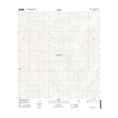
2016 Map of Nabesna A-4 NE
USGS Topo · Published 2016About this map
Wrangell-Saint Elias National Preserve occupies much of this landscape, encompassing a high-elevation alpine environment. The topography is defined by the northern reaches of the Wrangell Mountains, where steep contour lines indicate a terrain of significant vertical relief and glacial carving. This high country is drained by a network of seasonal and perennial streams, most notably Bond Creek and its smaller tributaries like Bond Cr in the northwest, alongside Notch Cr and William Cr to the east. The map detail reflects a remote wilderness area largely devoid of permanent human structures or roads, focusing instead on the complex drainage patterns and elevation changes typical of the Alaskan interior's protected preserves. Public land survey system lines for townships like t5n r15e and t4n r15e provide the primary organizational grid across this roadless expanse.
Find a feature on this map
11 named features on this map. Tap any name to fly to it.
Don’t see what you’re looking for? This feature index may not catch every label — zoom into the map to look around manually.
Map Details
Editions of this 2016 Nabesna A-4 NE Map
This is the sole edition of this map. No revisions or reprints were ever made.
Other maps of this area

1950 · Nabesna
USGS Topo · 1:250,000

1951 · Nabesna
USGS Topo · 1:250,000

1959 · Nabesna A-4
USGS Topo · 1:63,360

1960 · Nabesna B-4
USGS Topo · 1:63,360

1960 · Nabesna A-3
USGS Topo · 1:63,360

1960 · Nabesna
USGS Topo · 1:250,000

1960 · Nabesna B-3
USGS Topo · 1:63,360
2016 · Nabesna A-4 NW
USGS Topo · 1:25,000
2016 · Nabesna B-4 SE
USGS Topo · 1:25,000
2016 · Nabesna B-3 SW
USGS Topo · 1:25,000