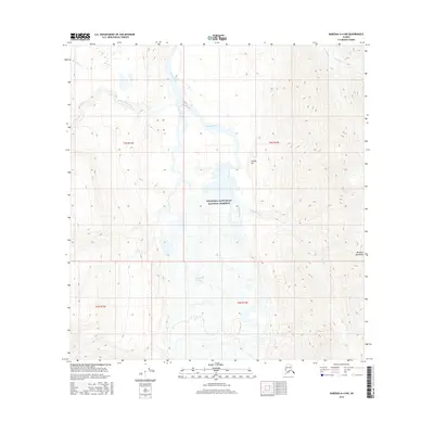
2016 Map of Nabesna A-4 NW
USGS Topo · Published 2016About this map
The braided channels of the Nabesna River dominate this interior Alaskan landscape within the Wrangell-Saint Elias National Preserve. This terrain is defined by the massive glacial flow of the Nabesna Glacier and the towering peaks of the Wrangell Mountains in the south. The hydrography of the region is complex, with numerous tributaries such as Monte Cristo Creek, Nikonda Creek, and Bond Creek feeding into the main river valley. Notable landmarks like Orange Hill stand out against the high-elevation contours, while smaller watercourses like Fish Cr carve through the northern sections. This survey provides a precise view of the drainage patterns and topographical transitions between the active glacial face and the alluvial plains of the river system.
Find a feature on this map
15 named features on this map. Tap any name to fly to it.
Don’t see what you’re looking for? This feature index may not catch every label — zoom into the map to look around manually.
Map Details
Editions of this 2016 Nabesna A-4 NW Map
This is the sole edition of this map. No revisions or reprints were ever made.
Other maps of this area

1950 · Nabesna
USGS Topo · 1:250,000

1951 · Nabesna
USGS Topo · 1:250,000

1959 · Nabesna A-4
USGS Topo · 1:63,360

1959 · Nabesna A-5
USGS Topo · 1:63,360

1960 · Nabesna B-4
USGS Topo · 1:63,360

1960 · Nabesna B-5
USGS Topo · 1:63,360

1960 · Nabesna
USGS Topo · 1:250,000
2016 · Nabesna B-4 SE
USGS Topo · 1:25,000
2016 · Nabesna A-4 NE
USGS Topo · 1:25,000
2016 · Nabesna B-5 SE
USGS Topo · 1:25,000