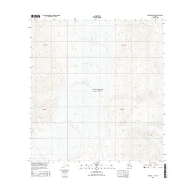
2016 Map of Nabesna A-4 SW
USGS Topo · Published 2016About this map
Nabesna Glacier dominates the central corridor of this Alaskan wilderness within the Wrangell-Saint Elias National Preserve. The topography illustrates a landscape of extreme elevation changes, where massive ice fields transition into drainage systems like Nikonda Cr. To the east, the Nikonda Glacier carves through the high terrain, highlighting the glacial dynamics that define the Copper River basin region. This 2016 survey provides a precise record of these shifting ice boundaries and the surrounding mountain ranges, offering essential data for understanding the hydrologic and geological character of the unorganized borough.
Find a feature on this map
8 named features on this map. Tap any name to fly to it.
Don’t see what you’re looking for? This feature index may not catch every label — zoom into the map to look around manually.
Map Details
Editions of this 2016 Nabesna A-4 SW Map
This is the sole edition of this map. No revisions or reprints were ever made.
Other maps of this area

1950 · Nabesna
USGS Topo · 1:250,000

1951 · McCarthy
USGS Topo · 1:250,000

1951 · Nabesna
USGS Topo · 1:250,000

1959 · Nabesna A-4
USGS Topo · 1:63,360

1959 · Nabesna A-5
USGS Topo · 1:63,360

1960 · McCarthy D-6
USGS Topo · 1:63,360

1960 · Nabesna
USGS Topo · 1:250,000
1960 · McCarthy D-5
USGS Topo · 1:63,360

1960 · McCarthy
USGS Topo · 1:250,000
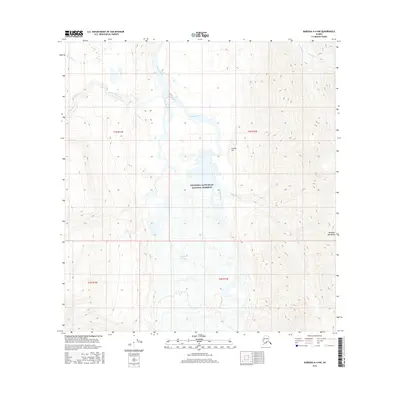
2016 · Nabesna A-4 NW
USGS Topo · 1:25,000