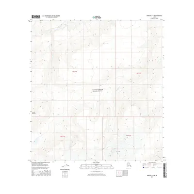
2016 Map of Nabesna A-5 NE
USGS Topo · Published 2016About this map
The remote expanse of the Alaska Range within the Unorganized Borough is charted in this 2016 survey, focusing on the drainage patterns of the Wrangell Mountains. The high-altitude terrain is dominated by steep contours and the path of Jacksina Creek, which flows through the northern portion of the quadrangle. As a modern study of this protected wilderness, the map provides precise elevation data for the mountainous landscape, reflecting the hydrological and geological characteristics of the region as managed by the U.S. Geological Survey.
Find a feature on this map
1 named feature on this map. Tap any name to fly to it.
Don’t see what you’re looking for? This feature index may not catch every label — zoom into the map to look around manually.
Map Details
Editions of this 2016 Nabesna A-5 NE Map
This is the sole edition of this map. No revisions or reprints were ever made.
Other maps of this area

1950 · Nabesna
USGS Topo · 1:250,000

1951 · Nabesna
USGS Topo · 1:250,000

1959 · Nabesna A-4
USGS Topo · 1:63,360

1959 · Nabesna A-5
USGS Topo · 1:63,360

1960 · Nabesna B-4
USGS Topo · 1:63,360

1960 · Nabesna B-5
USGS Topo · 1:63,360

1960 · Nabesna
USGS Topo · 1:250,000
2016 · Nabesna A-4 NW
USGS Topo · 1:25,000
2016 · Nabesna A-5 NW
USGS Topo · 1:25,000
2016 · Nabesna B-5 SE
USGS Topo · 1:25,000