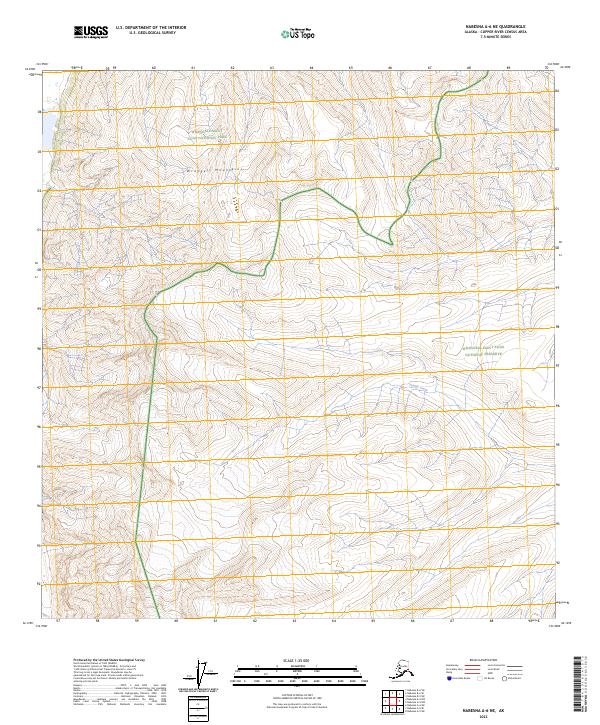
2023 Map of Nabesna A-6 NE
USGS Topo · Published 2023About this map
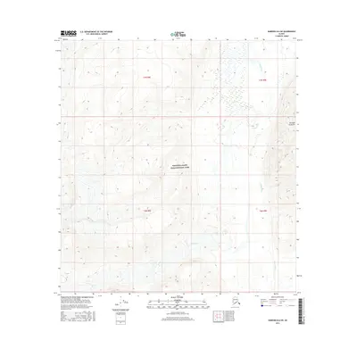
The Wrangell Mountains dominate this high-altitude landscape in eastern Alaska, where protected lands meet across several administrative boundaries. The area is defined by the intersection of the Wrangell-Saint Elias National Park, the designated Wrangell-St. Elias Wilderness, and the Wrangell-Saint Elias National Preserve. This convergence of federal designations highlights the transition between strictly preserved wilderness and national preserve lands. Drainage from the high peaks is traced by features such as Tumble Creek, which flows through the eastern portion of the quadrangle. The lack of roads or established settlements emphasizes the remote nature of this terrain, where the Public Land Survey System grids of t5n r10e and t4n r10e provide the only primary human-defined markers across the mountain peaks.
Find a feature on this map
9 named features on this map. Tap any name to fly to it.
Don’t see what you’re looking for? This feature index may not catch every label — zoom into the map to look around manually.
Map Details
Editions of this 2023 Nabesna A-6 NE Map
This is the sole edition of this map. No revisions or reprints were ever made.
Other maps of this area

1950 · Nabesna
USGS Topo · 1:250,000

1951 · Nabesna
USGS Topo · 1:250,000

1959 · Nabesna A-6
USGS Topo · 1:63,360

1959 · Nabesna A-5
USGS Topo · 1:63,360

1960 · Nabesna B-5
USGS Topo · 1:63,360

1960 · Nabesna
USGS Topo · 1:250,000
1960 · Nabesna B-6
USGS Topo · 1:63,360
2016 · Nabesna A-5 NW
USGS Topo · 1:25,000
2016 · Nabesna B-5 SW
USGS Topo · 1:25,000
2016 · Nabesna B-6 SW
USGS Topo · 1:25,000