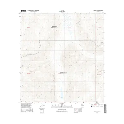
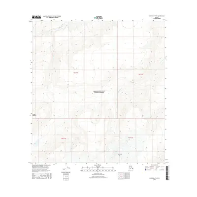
2016 Map of Nabesna B-5 SW
USGS Topo · Published 2016About this map
Tanada Peak stands as a prominent landmark within this high-elevation wilderness, where the boundaries of the Wrangell-Saint Elias National Park and the Wrangell-Saint Elias National Preserve meet. The terrain is defined by the massive scale of the Wrangell Mountains, featuring a complex network of alpine drainage systems. Notable water features include the isolated Sheep Lake and the winding paths of Goat Cr and Pass Cr, which carve through the steep glacial topography. This 2016 survey illustrates a landscape largely untouched by modern development, preserved for its natural character and geological significance. The map provides a precise record of these remote peaks and watersheds as they existed in the early twenty-first century.
Find a feature on this map
13 named features on this map. Tap any name to fly to it.
Don’t see what you’re looking for? This feature index may not catch every label — zoom into the map to look around manually.
Map Details
Editions of this 2016 Nabesna B-5 SW Map
This is the sole edition of this map. No revisions or reprints were ever made.
Other maps of this area

1950 · Nabesna
USGS Topo · 1:250,000

1951 · Nabesna
USGS Topo · 1:250,000

1959 · Nabesna A-6
USGS Topo · 1:63,360

1959 · Nabesna A-5
USGS Topo · 1:63,360

1960 · Nabesna B-5
USGS Topo · 1:63,360

1960 · Nabesna
USGS Topo · 1:250,000
1960 · Nabesna B-6
USGS Topo · 1:63,360
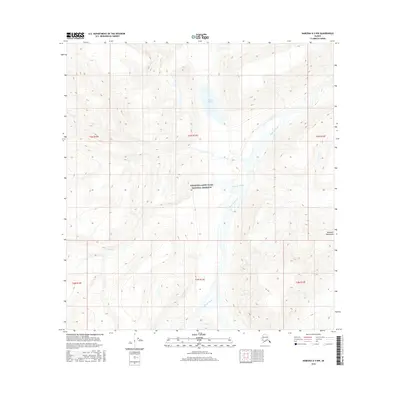
2016 · Nabesna A-5 NW
USGS Topo · 1:25,000
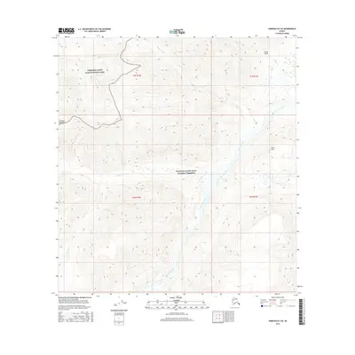
2016 · Nabesna B-5 SE
USGS Topo · 1:25,000
2016 · Nabesna A-5 NE
USGS Topo · 1:25,000