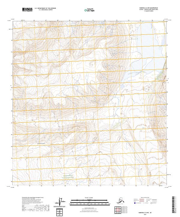
2023 Map of Nabesna A-6 NW
USGS Topo · Published 2023About this map
The Wrangell Mountains dominate this high-altitude landscape in eastern Alaska, where glacial activity and drainage patterns define the geography. The northeastern portion of the sheet is marked by the presence of the Copper River, which flows alongside the extensive Copper Glacier. These features represent the transition between massive ice fields and the developing river systems that carve through the surrounding peaks. Within the protected boundaries of Wrangell-Saint Elias National Park, the map captures a remote wilderness largely untouched by permanent settlement or road infrastructure.
Find a feature on this map
10 named features on this map. Tap any name to fly to it.
Don’t see what you’re looking for? This feature index may not catch every label — zoom into the map to look around manually.
Map Details
Editions of this 2023 Nabesna A-6 NW Map
This is the sole edition of this map. No revisions or reprints were ever made.
Other maps of this area

1950 · Nabesna
USGS Topo · 1:250,000

1951 · Gulkana
USGS Topo · 1:250,000

1951 · Nabesna
USGS Topo · 1:250,000

1959 · Gulkana B-1
USGS Topo · 1:63,360
1959 · Gulkana A-1
USGS Topo · 1:63,360

1959 · Gulkana
USGS Topo · 1:250,000

1959 · Nabesna A-6
USGS Topo · 1:63,360

1960 · Nabesna
USGS Topo · 1:250,000
1960 · Nabesna B-6
USGS Topo · 1:63,360

1965 · Gulkana
USGS Topo · 1:250,000