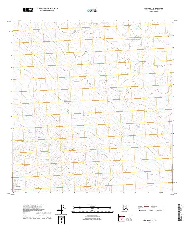
2023 Map of Nabesna A-6 SW
USGS Topo · Published 2023About this map
The Wrangell Mountains dominate this high-altitude landscape in the Copper River Census Area, where glacial action and volcanic history define the terrain. The presence of the Copper Glacier and the geological formation of East Crater illustrate the active environmental forces at work in this protected corner of Alaska. Large portions of the territory are managed as part of the Wrangell-Saint Elias-National Park and the even more strictly preserved Wrangell-St Elias Wilderness. This survey highlights the intersection of massive ice fields and volcanic peaks, providing a clear view of the drainage patterns and township lines, including t4n r8e and t3n r9e, that structure this nearly untouched wilderness area.
Find a feature on this map
9 named features on this map. Tap any name to fly to it.
Don’t see what you’re looking for? This feature index may not catch every label — zoom into the map to look around manually.
Map Details
Editions of this 2023 Nabesna A-6 SW Map
This is the sole edition of this map. No revisions or reprints were ever made.
Other maps of this area

1950 · Nabesna
USGS Topo · 1:250,000

1951 · McCarthy
USGS Topo · 1:250,000

1951 · Gulkana
USGS Topo · 1:250,000

1951 · Nabesna
USGS Topo · 1:250,000

1952 · Valdez
USGS Topo · 1:250,000
1959 · Gulkana A-1
USGS Topo · 1:63,360

1959 · Gulkana
USGS Topo · 1:250,000

1959 · Nabesna A-6
USGS Topo · 1:63,360

1959 · Valdez D-1
USGS Topo · 1:63,360

1960 · McCarthy D-8
USGS Topo · 1:63,360