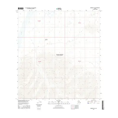
2016 Map of Nabesna B-2 SE
USGS Topo · Published 2016About this map
Wrangell-Saint Elias National Preserve encompasses the southern half of this interior Alaska landscape, dominated by the high elevations of the Nutzotin Mountains. The topography transitions from the dramatic vertical relief of the mountains down into the river valleys of the north. The Chisana River cuts through the northwestern corner, fed by smaller drainage systems like Bruin Cr. This 2016 survey illustrates the pristine nature of the eastern Alaska frontier, where the land is primarily defined by its natural watercourses and glacial-carved peaks rather than human infrastructure or settlement. The map provides clear visualization of the township and range lines across this protected wilderness, specifically within t7n r20e and t6n r21e.
Find a feature on this map
8 named features on this map. Tap any name to fly to it.
Don’t see what you’re looking for? This feature index may not catch every label — zoom into the map to look around manually.
Map Details
Editions of this 2016 Nabesna B-2 SE Map
This is the sole edition of this map. No revisions or reprints were ever made.
Other maps of this area

1950 · Nabesna
USGS Topo · 1:250,000

1951 · Nabesna
USGS Topo · 1:250,000

1959 · Nabesna A-1
USGS Topo · 1:63,360

1960 · Nabesna A-2
USGS Topo · 1:63,360

1960 · Nabesna B-2
USGS Topo · 1:63,360

1960 · Nabesna
USGS Topo · 1:250,000

1960 · Nabesna B-1
USGS Topo · 1:63,360
2016 · Nabesna A-2 NE
USGS Topo · 1:25,000
2016 · Nabesna B-2 NE
USGS Topo · 1:25,000
2016 · Nabesna B-2 SW
USGS Topo · 1:25,000