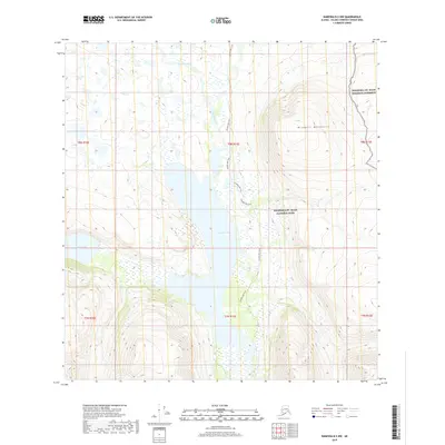
2019 Map of Nabesna B-5 NW
USGS Topo · Published 2019About this map
Tanada Lake and Copper Lake dominate the central and western reaches of this subarctic landscape within the Wrangell-St. Elias National Park and National Preserve. The interior terrain is defined by the high elevations of the Wrangell Mountains, where steep contours rise sharply toward the east. This 2019 survey documents a wilderness environment where human infrastructure is limited to the Tanada Lake Trail, which skirts the eastern shore of the lake and follows the valley of Tanada Creek. Drainage patterns are visible through several small water bodies and Goat Cr in the south, illustrating the complex hydrography of the Alaskan interior. The map provides a precise record of these glacial-fed lakes and the surrounding protected lands, capturing a moment when access was primarily via established backcountry trails rather than developed roads.
Find a feature on this map
14 named features on this map. Tap any name to fly to it.
Don’t see what you’re looking for? This feature index may not catch every label — zoom into the map to look around manually.
Map Details
Editions of this 2019 Nabesna B-5 NW Map
This is the sole edition of this map. No revisions or reprints were ever made.
Other maps of this area

1948 · Nabesna C-6
USGS Topo · 1:63,360

1950 · Nabesna
USGS Topo · 1:250,000

1951 · Nabesna
USGS Topo · 1:250,000

1952 · Nabesna C-6
USGS Topo · 1:63,360

1957 · Nabesna C-5
USGS Topo · 1:63,360

1960 · Nabesna B-5
USGS Topo · 1:63,360

1960 · Nabesna
USGS Topo · 1:250,000
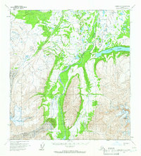
1960 · Nabesna B-6
USGS Topo · 1:63,360
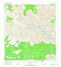
1960 · Nabesna C-5
USGS Topo · 1:63,360
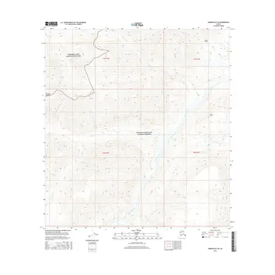
2016 · Nabesna B-5 SE
USGS Topo · 1:25,000