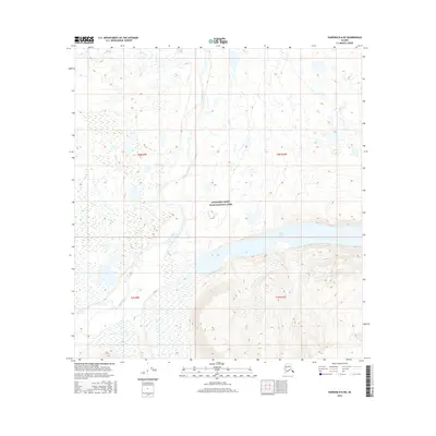
2016 Map of Nabesna B-6 NE
USGS Topo · Published 2016About this map
Wrangell-Saint Elias National Park encompasses the southeastern reaches of this wilderness area, where the glacial silt-heavy Copper River weaves through a landscape of shifting gravel bars and braided channels. To the east, the vast expanse of Copper Lake sits within a broad basin, its shores reflecting the transition between the low-lying river bottomlands and the rising mountainous terrain. The map captures a section of the Alaskan interior where the drainage patterns are governed by the interplay of these major water bodies, illustrating the natural hydrological boundaries that defined the region’s geography before modern infrastructure. This 2016 survey by the U.S. Geological Survey provides precise elevation data for the townships of t8n r9e, t8n r10e, t7n r9e, and t7n r10e, documenting the untouched topography of this protected federal land.
Find a feature on this map
7 named features on this map. Tap any name to fly to it.
Don’t see what you’re looking for? This feature index may not catch every label — zoom into the map to look around manually.
Map Details
Editions of this 2016 Nabesna B-6 NE Map
This is the sole edition of this map. No revisions or reprints were ever made.
Other maps of this area

1948 · Nabesna C-6
USGS Topo · 1:63,360

1950 · Nabesna
USGS Topo · 1:250,000

1951 · Nabesna
USGS Topo · 1:250,000

1952 · Nabesna C-6
USGS Topo · 1:63,360

1957 · Nabesna C-5
USGS Topo · 1:63,360

1960 · Nabesna B-5
USGS Topo · 1:63,360

1960 · Nabesna
USGS Topo · 1:250,000
1960 · Nabesna B-6
USGS Topo · 1:63,360
1960 · Nabesna C-5
USGS Topo · 1:63,360
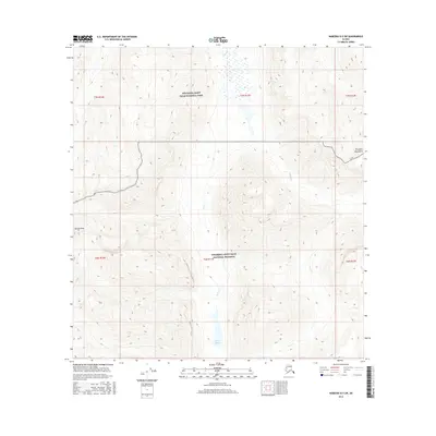
2016 · Nabesna B-5 SW
USGS Topo · 1:25,000