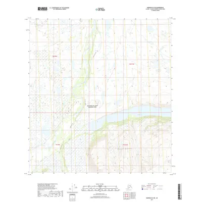
2019 Map of Nabesna B-6 NE
USGS Topo · Published 2019About this map
The Copper River flows through the western portion of this interior Alaskan landscape, which is largely encompassed by the Wrangell-St. Elias National Park. The terrain is dominated by the northern reaches of the Wrangell Mountains, where steep contour lines rise abruptly from the river valley. In the eastern half of the survey, the headwaters of Copper Lake stretch across the basin, providing a significant water feature in this high-altitude environment.
Find a feature on this map
9 named features on this map. Tap any name to fly to it.
Don’t see what you’re looking for? This feature index may not catch every label — zoom into the map to look around manually.
Map Details
Editions of this 2019 Nabesna B-6 NE Map
This is the sole edition of this map. No revisions or reprints were ever made.
Other maps of this area

1948 · Nabesna C-6
USGS Topo · 1:63,360

1950 · Nabesna
USGS Topo · 1:250,000

1951 · Nabesna
USGS Topo · 1:250,000

1952 · Nabesna C-6
USGS Topo · 1:63,360

1957 · Nabesna C-5
USGS Topo · 1:63,360

1960 · Nabesna B-5
USGS Topo · 1:63,360

1960 · Nabesna
USGS Topo · 1:250,000
1960 · Nabesna B-6
USGS Topo · 1:63,360
1960 · Nabesna C-5
USGS Topo · 1:63,360
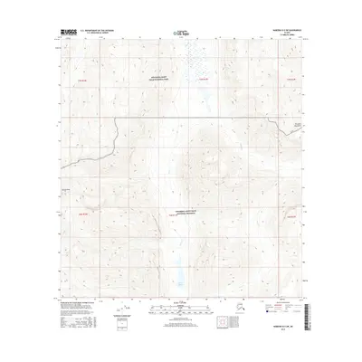
2016 · Nabesna B-5 SW
USGS Topo · 1:25,000