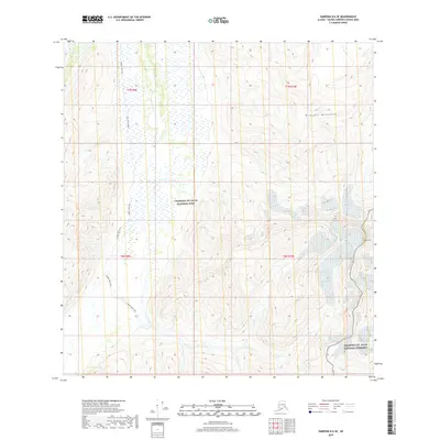
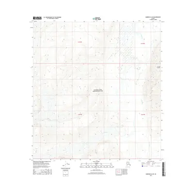
2019 Map of Nabesna B-6 SE
USGS Topo · Published 2019About this map
The Wrangell-St. Elias National Park and Wrangell-St. Elias National Preserve intersect in this 2019 survey, capturing a high-altitude wilderness where glacial-carved terrain meets the Wrangell Mountains. The primary human footprint across this landscape is the Copper Lake Trail, which meanders through the western half of the quadrangle, likely serving as a critical access route for early travel or backcountry subsistence. In the southeastern corner, the terrain reaches a dramatic point at Tanada Peak, rising above a complex network of elevation contours that define the area's sharp relief. This map provides a detailed look at the interface between managed wilderness zones and the natural landmarks that dictated movement through this part of the Alaska interior.
Find a feature on this map
9 named features on this map. Tap any name to fly to it.
Don’t see what you’re looking for? This feature index may not catch every label — zoom into the map to look around manually.
Map Details
Editions of this 2019 Nabesna B-6 SE Map
This is the sole edition of this map. No revisions or reprints were ever made.
Other maps of this area

1950 · Nabesna
USGS Topo · 1:250,000

1951 · Nabesna
USGS Topo · 1:250,000

1959 · Nabesna A-6
USGS Topo · 1:63,360

1959 · Nabesna A-5
USGS Topo · 1:63,360

1960 · Nabesna B-5
USGS Topo · 1:63,360

1960 · Nabesna
USGS Topo · 1:250,000
1960 · Nabesna B-6
USGS Topo · 1:63,360
2016 · Nabesna A-5 NW
USGS Topo · 1:25,000
2016 · Nabesna B-5 SW
USGS Topo · 1:25,000
2016 · Nabesna B-6 SW
USGS Topo · 1:25,000