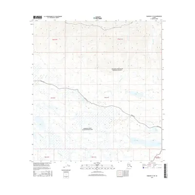
2016 Map of Nabesna C-5 SW
USGS Topo · Published 2016About this map
Nabesna Road serves as the primary corridor through this interior Alaskan wilderness, following a transition from highland drainage to a lacustrine basin. The northern portion of the landscape is dominated by the Wrangell-Saint Elias National Preserve, where steep slopes feed watercourses such as Caribou Cr and Trail Creek. As the terrain levels toward the south into the Wrangell-Saint Elias National Park, a series of significant water bodies emerge, including Long Lake, Peggy Lake, and Jack Lake. These lakes and the surrounding wetlands suggest a complex hydrological network typical of the copper-rich Nabesna region, where the road provides rare access to the vast interior. The map illustrates the geographical boundary between the preserve and park status, capturing the varied hydrology of Tanada Creek and Twin Lakes in a relatively undisturbed state.
Find a feature on this map
21 named features on this map. Tap any name to fly to it.
Don’t see what you’re looking for? This feature index may not catch every label — zoom into the map to look around manually.
Map Details
Editions of this 2016 Nabesna C-5 SW Map
This is the sole edition of this map. No revisions or reprints were ever made.
Other maps of this area

1948 · Nabesna C-6
USGS Topo · 1:63,360

1950 · Nabesna
USGS Topo · 1:250,000

1951 · Nabesna
USGS Topo · 1:250,000

1952 · Nabesna C-6
USGS Topo · 1:63,360

1957 · Nabesna C-5
USGS Topo · 1:63,360

1960 · Nabesna B-5
USGS Topo · 1:63,360

1960 · Nabesna
USGS Topo · 1:250,000
1960 · Nabesna B-6
USGS Topo · 1:63,360
1960 · Nabesna C-5
USGS Topo · 1:63,360
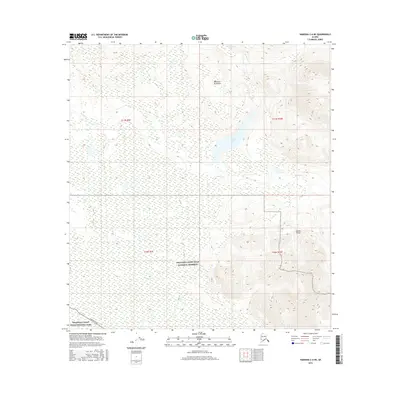
2016 · Nabesna C-6 NE
USGS Topo · 1:25,000