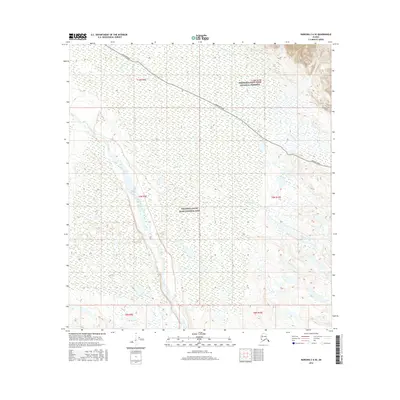
2016 Map of Nabesna C-6 SE
USGS Topo · Published 2016About this map
Wrangell-Saint Elias National Park and the adjacent Wrangell-Saint Elias National Preserve dominate this section of the Copper River basin. The landscape is defined by the massive braid of the Copper River flowing through the southwestern quadrant, while the northern terrain is crossed by the Nabesna Road, a critical interior transportation artery. Numerous waterways, including Caribou Cr and Tanada Creek, cut through the lowlands and foothills, illustrating the complex hydrography of the region. This 2016 survey provides a precise modern look at the intersection of protected wilderness and the historic road corridor that allows access to the northern reaches of the Wrangell Mountains.
Find a feature on this map
14 named features on this map. Tap any name to fly to it.
Don’t see what you’re looking for? This feature index may not catch every label — zoom into the map to look around manually.
Map Details
Editions of this 2016 Nabesna C-6 SE Map
This is the sole edition of this map. No revisions or reprints were ever made.
Other maps of this area

1948 · Nabesna C-6
USGS Topo · 1:63,360

1950 · Nabesna
USGS Topo · 1:250,000

1951 · Nabesna
USGS Topo · 1:250,000

1952 · Nabesna C-6
USGS Topo · 1:63,360

1957 · Nabesna C-5
USGS Topo · 1:63,360

1960 · Nabesna B-5
USGS Topo · 1:63,360

1960 · Nabesna
USGS Topo · 1:250,000
1960 · Nabesna B-6
USGS Topo · 1:63,360
1960 · Nabesna C-5
USGS Topo · 1:63,360
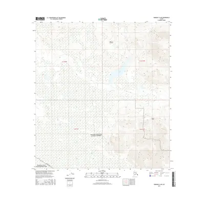
2016 · Nabesna C-6 NE
USGS Topo · 1:25,000