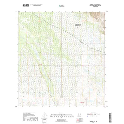
2019 Map of Nabesna C-6 SE
USGS Topo · Published 2019About this map
Wrangell-St. Elias National Park and the adjacent Wrangell-St. Elias National Preserve cover the vast majority of this interior Alaskan landscape. The northern portion is defined by the high elevations of the Mentasta Mountains, while the Copper River valley dominates the western edge of the sheet. Modern access is provided by the Nabesna Road, which cuts diagonally across the northern townships, and the Copper Lake Trail, which follows the river's drainage southward. This 2019 survey documents a wilderness area where natural drainages like Tanada Creek, Caribou Cr, and Natat Cr remain the primary geographical features. The map illustrates the administrative transition between park and preserve lands in a region where human infrastructure is limited to a few critical corridors through the Copper River basin.
Find a feature on this map
17 named features on this map. Tap any name to fly to it.
Don’t see what you’re looking for? This feature index may not catch every label — zoom into the map to look around manually.
Map Details
Editions of this 2019 Nabesna C-6 SE Map
This is the sole edition of this map. No revisions or reprints were ever made.
Other maps of this area

1948 · Nabesna C-6
USGS Topo · 1:63,360

1950 · Nabesna
USGS Topo · 1:250,000

1951 · Nabesna
USGS Topo · 1:250,000

1952 · Nabesna C-6
USGS Topo · 1:63,360

1957 · Nabesna C-5
USGS Topo · 1:63,360

1960 · Nabesna B-5
USGS Topo · 1:63,360

1960 · Nabesna
USGS Topo · 1:250,000
1960 · Nabesna B-6
USGS Topo · 1:63,360
1960 · Nabesna C-5
USGS Topo · 1:63,360
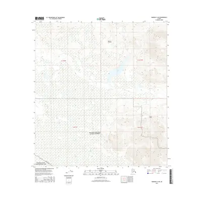
2016 · Nabesna C-6 NE
USGS Topo · 1:25,000