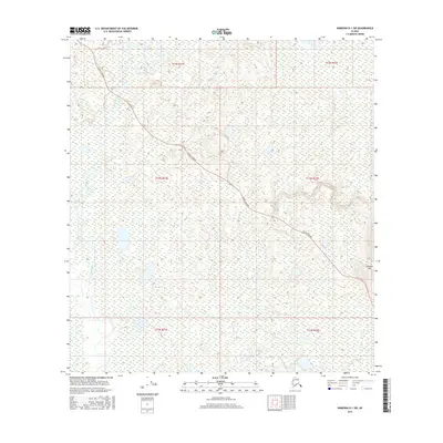
2016 Map of Nabesna D-1 SW
USGS Topo · Published 2016About this map
The Alaska Highway cuts diagonally across this interior landscape, providing the primary overland route through the complex wetlands of the Chisana River basin. In this 2016 survey, the vast marshlands and numerous unnamed ponds of the Unorganized Borough are punctuated by distinctive landmarks such as Paradise Hill on the eastern edge. The map captures the specialized hydrology of the region, where Gardiner Creek and the meandering Chisana River navigate a terrain defined by subtle elevation changes and expansive wetlands. This detailed topographic study illustrates the infrastructure of the far north, showing how modern transit corridors interact with the shifting, water-saturated ground of the Alaskan interior.
Find a feature on this map
10 named features on this map. Tap any name to fly to it.
Don’t see what you’re looking for? This feature index may not catch every label — zoom into the map to look around manually.
Map Details
Editions of this 2016 Nabesna D-1 SW Map
This is the sole edition of this map. No revisions or reprints were ever made.
Other maps of this area

1950 · Nabesna
USGS Topo · 1:250,000

1951 · Nabesna
USGS Topo · 1:250,000

1952 · Nabesna D-1
USGS Topo · 1:63,360

1954 · Nabesna D-2
USGS Topo · 1:63,360

1955 · Nabesna C-1
USGS Topo · 1:63,360

1955 · Nabesna C-2
USGS Topo · 1:63,360

1955 · Nabesna D-2
USGS Topo · 1:63,360

1960 · Nabesna
USGS Topo · 1:250,000
2013 · Nabesna D-1 SE
USGS Topo · 1:25,000
2013 · Nabesna C-1 NE
USGS Topo · 1:25,000