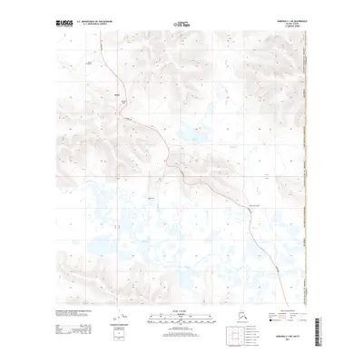
2013 Map of Nabesna C-1 NE
USGS Topo · Published 2013About this map
Alaska Hwy cuts a solitary path through this remote borderland in the early 21st century, serving as the primary artery connecting Alaska to Canada. The landscape is defined by the high, winding reaches of Glacier Hill and a complex network of waterways, including Scottie Cr and Desper Cr. Small, isolated outposts like Alcan and Seaton Roadhouse mark the human presence along the highway, representing the traditional stopping points essential for travel in the subarctic wilderness. Near the international boundary with Canada, the terrain opens into wetlands surrounding Island Lake, where the drainage patterns suggest a seasonal shifts in the water table. The presence of Scotty Creek Lodge and High Cache further illustrates the scattered, service-oriented settlement pattern that characterizes this stretch of the Southeast Fairbanks region.
Find a feature on this map
14 named features on this map. Tap any name to fly to it.
Don’t see what you’re looking for? This feature index may not catch every label — zoom into the map to look around manually.
Map Details
Editions of this 2013 Nabesna C-1 NE Map
This is the sole edition of this map. No revisions or reprints were ever made.
Other maps of this area

1950 · Nabesna
USGS Topo · 1:250,000

1951 · Nabesna
USGS Topo · 1:250,000

1952 · Nabesna D-1
USGS Topo · 1:63,360

1955 · Nabesna C-1
USGS Topo · 1:63,360

1960 · Nabesna
USGS Topo · 1:250,000
2013 · Nabesna D-1 SE
USGS Topo · 1:25,000
2016 · Nabesna C-1 NW
USGS Topo · 1:25,000
2016 · Nabesna C-1 SW
USGS Topo · 1:25,000
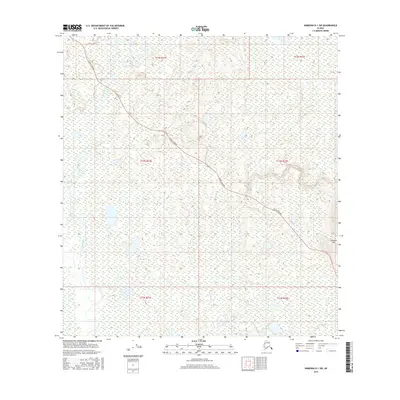
2016 · Nabesna D-1 SW
USGS Topo · 1:25,000
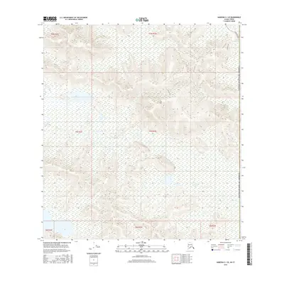
2016 · Nabesna C-1 SE
USGS Topo · 1:25,000