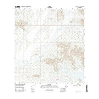
2016 Map of Nabesna C-1 SW
USGS Topo · Published 2016About this map
The Chisana River winds through this interior Alaskan landscape, defining the braided water patterns and extensive wetlands of the eastern Unorganized Borough. Rising to the northwest, the Black Hills provide a distinct topographic contrast to the broad river valley and its surrounding marshes. The environment here is dominated by the natural drainage of the Chisana River and the smaller Mirror Creek, illustrating the remote wilderness character of the region. This 2016 survey documents the shifting hydrography and elevation contours essential for navigating the interior's complex terrain and seasonal water movements.
Find a feature on this map
9 named features on this map. Tap any name to fly to it.
Don’t see what you’re looking for? This feature index may not catch every label — zoom into the map to look around manually.
Map Details
Editions of this 2016 Nabesna C-1 SW Map
This is the sole edition of this map. No revisions or reprints were ever made.
Other maps of this area

1950 · Nabesna
USGS Topo · 1:250,000

1951 · Nabesna
USGS Topo · 1:250,000

1955 · Nabesna C-1
USGS Topo · 1:63,360

1955 · Nabesna C-2
USGS Topo · 1:63,360

1960 · Nabesna B-2
USGS Topo · 1:63,360

1960 · Nabesna
USGS Topo · 1:250,000

1960 · Nabesna B-1
USGS Topo · 1:63,360
2013 · Nabesna C-1 NE
USGS Topo · 1:25,000
2016 · Nabesna C-2 NE
USGS Topo · 1:25,000
2016 · Nabesna B-2 NE
USGS Topo · 1:25,000