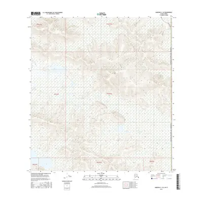
2016 Map of Nabesna C-1 SE
USGS Topo · Published 2016About this map
Mirror Cr winds through the wetlands and complex topography of this interior Alaska landscape, defining much of the drainage pattern across the central and southern portions of the sheet. In the northeast, the Alaska Highway provides the primary corridor of transit, accompanied by Ts'oogot Gaay Lake near the border with the Yukon. The elevation rises toward Airs Hill, a prominent geographic landmark that serves as a focal point for the Airs Hill Trail. This network of water and trail systems suggests a landscape utilized for seasonal transit and traditional land use rather than permanent settlement. The proximity to the international boundary and the presence of the highway underscore the area's importance as a gateway between the Alaskan interior and the Canadian border during the early 21st century.
Find a feature on this map
13 named features on this map. Tap any name to fly to it.
Don’t see what you’re looking for? This feature index may not catch every label — zoom into the map to look around manually.
Map Details
Editions of this 2016 Nabesna C-1 SE Map
This is the sole edition of this map. No revisions or reprints were ever made.
Other maps of this area

1950 · Nabesna
USGS Topo · 1:250,000

1951 · Nabesna
USGS Topo · 1:250,000

1955 · Nabesna C-1
USGS Topo · 1:63,360

1960 · Nabesna
USGS Topo · 1:250,000

1960 · Nabesna B-1
USGS Topo · 1:63,360
2013 · Nabesna C-1 NE
USGS Topo · 1:25,000
2016 · Nabesna B-1 NE
USGS Topo · 1:25,000
2016 · Nabesna C-1 NW
USGS Topo · 1:25,000
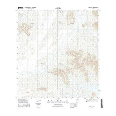
2016 · Nabesna C-1 SW
USGS Topo · 1:25,000
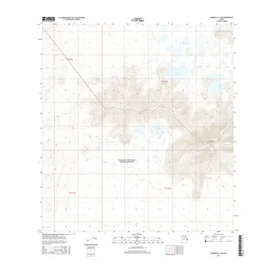
2016 · Nabesna B-1 NW
USGS Topo · 1:25,000