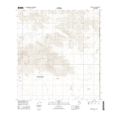
2016 Map of Nabesna B-1 NE
USGS Topo · Published 2016About this map
Wrangell-Saint Elias National Preserve dominates the southern landscape of this remote subarctic region, where the high ridges of the Nutzotin Mountains descend toward the Canadian border. The drainage patterns are defined by the meandering course of Snag Creek and its tributary Snag Cr, which weave through the lowlands in the eastern portion of the quadrangle. This area, situated within the Unorganized Borough, represents a classic Alaskan wilderness interior where the township and range lines of t8n r23e and t7n r23e overlie a complex topography of glacial valleys and steep relief. The map also delineates the international boundary with the United States of America, marking the edge of the Yukon Territory. This 2016 survey captures the high-elevation terrain and watercourses in detail, providing a clear view of the hydrological transition from mountain slopes to the muskeg and wetlands of the creek bottoms.
Find a feature on this map
10 named features on this map. Tap any name to fly to it.
Don’t see what you’re looking for? This feature index may not catch every label — zoom into the map to look around manually.
Map Details
Editions of this 2016 Nabesna B-1 NE Map
This is the sole edition of this map. No revisions or reprints were ever made.
Other maps of this area

1950 · Nabesna
USGS Topo · 1:250,000

1951 · Nabesna
USGS Topo · 1:250,000

1955 · Nabesna C-1
USGS Topo · 1:63,360

1960 · Nabesna
USGS Topo · 1:250,000

1960 · Nabesna B-1
USGS Topo · 1:63,360
2016 · Nabesna C-1 SW
USGS Topo · 1:25,000
2016 · Nabesna B-1 SW
USGS Topo · 1:25,000
2016 · Nabesna B-1 NW
USGS Topo · 1:25,000
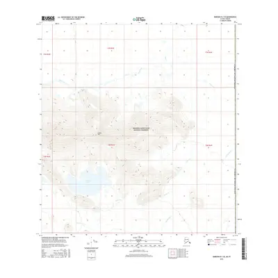
2016 · Nabesna B-1 SE
USGS Topo · 1:25,000
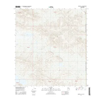
2016 · Nabesna C-1 SE
USGS Topo · 1:25,000