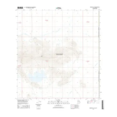
2016 Map of Nabesna B-1 SE
USGS Topo · Published 2016About this map
The Wrangell-Saint Elias National Preserve dominates this section of the Alaska-Yukon borderlands, showing a landscape defined by extreme elevation changes and glacial drainage patterns. Central to this survey are the Carden Hills, which rise sharply above the surrounding basin. Below these heights, Carden Lake serves as a significant hydrologic feature, fed and drained by a network of seasonal and perennial streams including Carden Cr and Snag Creek. The map documents the intricate topography of the eastern edge of the preserve, where the international boundary with Canada is clearly marked. The drainage of Cottonwood Cr in the southeastern quadrant further illustrates the complex watershed of this subarctic wilderness, where the lack of human infrastructure highlights the primary role of natural terrain and water systems in defining the territory.
Find a feature on this map
14 named features on this map. Tap any name to fly to it.
Don’t see what you’re looking for? This feature index may not catch every label — zoom into the map to look around manually.
Map Details
Editions of this 2016 Nabesna B-1 SE Map
This is the sole edition of this map. No revisions or reprints were ever made.
Other maps of this area

1950 · Nabesna
USGS Topo · 1:250,000

1951 · Nabesna
USGS Topo · 1:250,000

1959 · Nabesna A-1
USGS Topo · 1:63,360

1960 · Nabesna
USGS Topo · 1:250,000

1960 · Nabesna B-1
USGS Topo · 1:63,360
2016 · Nabesna B-1 NE
USGS Topo · 1:25,000
2016 · Nabesna B-1 SW
USGS Topo · 1:25,000
2016 · Nabesna B-1 NW
USGS Topo · 1:25,000
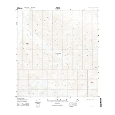
2016 · Nabesna A-1 NW
USGS Topo · 1:25,000
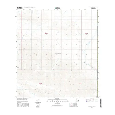
2016 · Nabesna A-1 NE
USGS Topo · 1:25,000