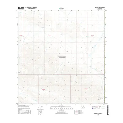
2016 Map of Nabesna A-1 NE
USGS Topo · Published 2016About this map
Wrangell-Saint Elias National Preserve dominates this high-altitude landscape in the eastern Alaska Range, situated near the international border with Canada. The map illustrates a complex drainage system where glacial runoff and seasonal snowmelt feed into major watercourses like Beaver Creek and the long, winding Iverson Creek. To the south, Baultoff Creek and Fourmile Cr carve through the foothills, indicating a high-relief environment defined by its hydrology. The presence of Scotty Gulch and various smaller tributaries like Anaconda Cr and Carden Cr suggests a terrain shaped by significant erosion. This 2016 survey captures the area's natural state before any significant human infrastructure, preserved for its ecological and geological value within the national preserve system.
Find a feature on this map
19 named features on this map. Tap any name to fly to it.
Don’t see what you’re looking for? This feature index may not catch every label — zoom into the map to look around manually.
Map Details
Editions of this 2016 Nabesna A-1 NE Map
This is the sole edition of this map. No revisions or reprints were ever made.
Other maps of this area

1950 · Nabesna
USGS Topo · 1:250,000

1951 · Nabesna
USGS Topo · 1:250,000

1959 · Nabesna A-1
USGS Topo · 1:63,360

1960 · Nabesna
USGS Topo · 1:250,000

1960 · Nabesna B-1
USGS Topo · 1:63,360
2016 · Nabesna B-1 SW
USGS Topo · 1:25,000
2016 · Nabesna A-1 NW
USGS Topo · 1:25,000
2016 · Nabesna B-1 SE
USGS Topo · 1:25,000
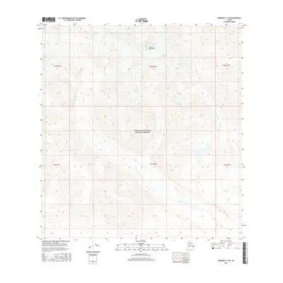
2016 · Nabesna A-1 SW
USGS Topo · 1:25,000
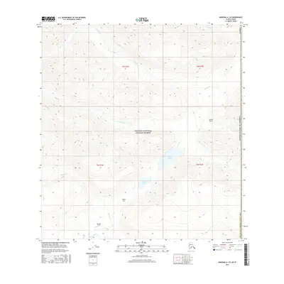
2016 · Nabesna A-1 SE
USGS Topo · 1:25,000