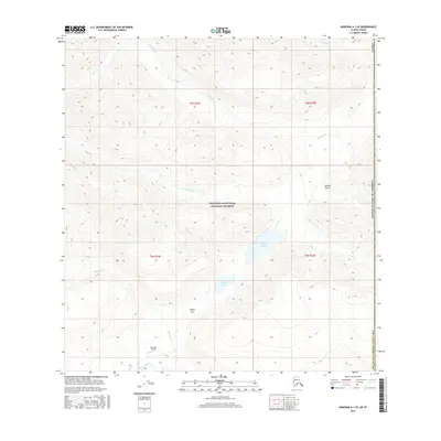
2016 Map of Nabesna A-1 SE
USGS Topo · Published 2016About this map
Wrangell-Saint Elias National Preserve encompasses the majority of this high-latitude terrain, where the hydrology is defined by a series of branching creek systems. Drainage is oriented primarily around Baultoff Creek in the north and the multi-lobed Braye Lakes further south. The land is characterized by significant elevation changes, notably at Braye Pass and the steep incisions of Eureka Gulch.
Find a feature on this map
21 named features on this map. Tap any name to fly to it.
Don’t see what you’re looking for? This feature index may not catch every label — zoom into the map to look around manually.
Map Details
Editions of this 2016 Nabesna A-1 SE Map
This is the sole edition of this map. No revisions or reprints were ever made.
Other maps of this area

1950 · Nabesna
USGS Topo · 1:250,000

1951 · McCarthy
USGS Topo · 1:250,000

1951 · Nabesna
USGS Topo · 1:250,000

1959 · McCarthy D-1
USGS Topo · 1:63,360

1959 · Nabesna A-1
USGS Topo · 1:63,360

1960 · Nabesna
USGS Topo · 1:250,000

1960 · McCarthy
USGS Topo · 1:250,000
2016 · Nabesna A-1 NW
USGS Topo · 1:25,000
2016 · Nabesna A-1 NE
USGS Topo · 1:25,000
2016 · Nabesna A-1 SW
USGS Topo · 1:25,000