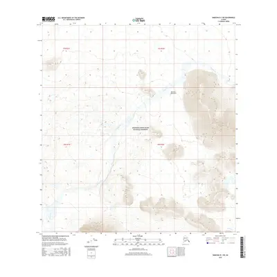
2016 Map of Nabesna B-1 SW
USGS Topo · Published 2016About this map
Wrangell-Saint Elias National Preserve encompasses most of this landscape, where high-altitude wilderness meets the glacial-fed drainage systems of the eastern Alaska interior. The terrain is dominated by the Nutzotin Mountains, a range characterized by significant relief and complex drainage patterns that feed into the larger regional basins. The primary watercourse, Snag Creek, meanders across the central and northern reaches, creating a wide riparian corridor within the mountainous surroundings. Along the southern edge, the headwaters of Carden Cr emerge, illustrating the intricate divide between these sub-basins. This 2016 survey provides a clear view of the topographic contours and hydrography that define this undeveloped section of the unorganized borough, documenting the state of the preserve's natural borders and hydrological features in the early twenty-first century.
Find a feature on this map
4 named features on this map. Tap any name to fly to it.
Don’t see what you’re looking for? This feature index may not catch every label — zoom into the map to look around manually.
Map Details
Editions of this 2016 Nabesna B-1 SW Map
This is the sole edition of this map. No revisions or reprints were ever made.
Other maps of this area

1950 · Nabesna
USGS Topo · 1:250,000

1951 · Nabesna
USGS Topo · 1:250,000

1959 · Nabesna A-1
USGS Topo · 1:63,360

1960 · Nabesna A-2
USGS Topo · 1:63,360

1960 · Nabesna B-2
USGS Topo · 1:63,360

1960 · Nabesna
USGS Topo · 1:250,000

1960 · Nabesna B-1
USGS Topo · 1:63,360
2016 · Nabesna A-2 NE
USGS Topo · 1:25,000
2016 · Nabesna B-2 NE
USGS Topo · 1:25,000
2016 · Nabesna B-1 NE
USGS Topo · 1:25,000