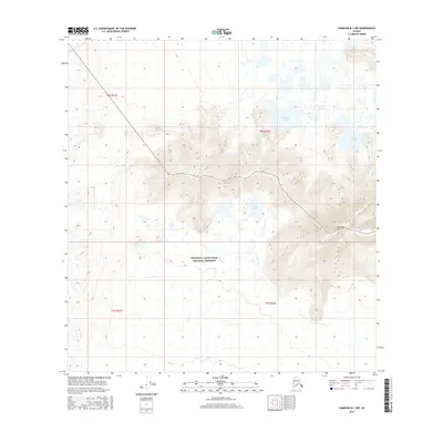
2016 Map of Nabesna B-1 NW
USGS Topo · Published 2016About this map
Wrangell-Saint Elias National Preserve encompasses the southern half of this landscape, protecting a transition from low-lying wetlands to significant alpine terrain. The northern reaches are characterized by a dense network of water bodies, including Wellesley Lakes and Stevens Lakes, which sit at the foot of prominent high ground. The most striking geographical feature is Wellesley Mtn, where the elevation rises sharply from the 2,100-foot lake basins to a peak exceeding 4,500 feet. This elevation gradient within the t8n r22e and t7n r22e townships illustrates the typical glacial topography of interior Alaska, where isolated massifs stand above expansive, water-saturated flats.
Find a feature on this map
8 named features on this map. Tap any name to fly to it.
Don’t see what you’re looking for? This feature index may not catch every label — zoom into the map to look around manually.
Map Details
Editions of this 2016 Nabesna B-1 NW Map
This is the sole edition of this map. No revisions or reprints were ever made.
Other maps of this area

1950 · Nabesna
USGS Topo · 1:250,000

1951 · Nabesna
USGS Topo · 1:250,000

1955 · Nabesna C-1
USGS Topo · 1:63,360

1955 · Nabesna C-2
USGS Topo · 1:63,360

1960 · Nabesna B-2
USGS Topo · 1:63,360

1960 · Nabesna
USGS Topo · 1:250,000

1960 · Nabesna B-1
USGS Topo · 1:63,360
2016 · Nabesna B-2 NE
USGS Topo · 1:25,000
2016 · Nabesna B-1 NE
USGS Topo · 1:25,000
2016 · Nabesna C-2 SE
USGS Topo · 1:25,000