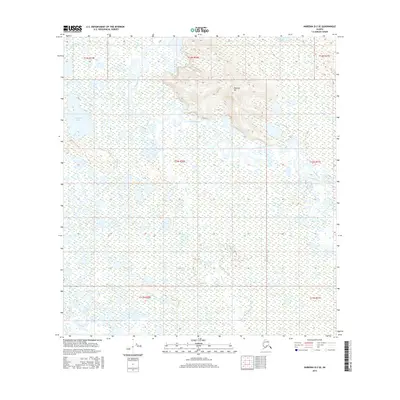
2016 Map of Nabesna D-2 SE
USGS Topo · Published 2016About this map
Chisana River meanders through a sprawling network of wetlands and seasonal watercourses in this 2016 survey of the Alaskan interior. The landscape is defined by the shifting braids of the river and its numerous tributaries, including Gardiner Cr, Stuver Cr, and Charlieskin Cr. Rising above the surrounding lowlands, Tenmile Hill provides a distinct topographic landmark amidst a complex environment of open water and saturated ground. Significant water bodies such as Tsolmund Lake and Deadman Lake dot the quadrangle, illustrating the intricate drainage patterns characteristic of this region. The map captures the raw hydrography of the Unorganized Borough, where the lack of established roads or permanent settlements emphasizes a wilderness shaped entirely by glacial runoff and fluvial processes.
Find a feature on this map
15 named features on this map. Tap any name to fly to it.
Don’t see what you’re looking for? This feature index may not catch every label — zoom into the map to look around manually.
Map Details
Editions of this 2016 Nabesna D-2 SE Map
This is the sole edition of this map. No revisions or reprints were ever made.
Other maps of this area

1950 · Nabesna
USGS Topo · 1:250,000

1951 · Nabesna
USGS Topo · 1:250,000

1952 · Nabesna D-1
USGS Topo · 1:63,360

1954 · Nabesna D-2
USGS Topo · 1:63,360

1955 · Nabesna C-1
USGS Topo · 1:63,360

1955 · Nabesna C-2
USGS Topo · 1:63,360

1955 · Nabesna D-2
USGS Topo · 1:63,360

1960 · Nabesna
USGS Topo · 1:250,000
2016 · Nabesna D-2 NW
USGS Topo · 1:25,000
2016 · Nabesna C-2 NE
USGS Topo · 1:25,000