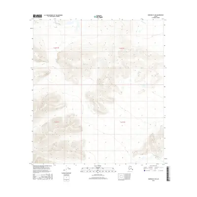
2016 Map of Nabesna D-4 NE
USGS Topo · Published 2016About this map
Tetlin River flows across the southeastern corner of this Alaskan interior landscape, a region defined by complex drainage patterns and sharp elevation changes. The waterway network is anchored by Clearwater Cr in the northeast and Bear Cr to the northwest, with Mice Cr cutting through the western slopes. These labels highlight the traditional naming conventions used by early travelers and surveyors in the eastern Tanana Valley region. The map provides a detailed view of the terrain within several townships, including t14n r15e, where high ridges and deep valleys illustrate the water-carved geography of the Copper River Basin's northern edge. The absence of roads or permanent settlements in this 2016 survey emphasizes the wilderness character of the unorganized borough.
Find a feature on this map
8 named features on this map. Tap any name to fly to it.
Don’t see what you’re looking for? This feature index may not catch every label — zoom into the map to look around manually.
Map Details
Editions of this 2016 Nabesna D-4 NE Map
This is the sole edition of this map. No revisions or reprints were ever made.
Other maps of this area

1948 · Tanacross A-3
USGS Topo · 1:63,360

1948 · Tanacross A-4
USGS Topo · 1:63,360

1949 · Tanacross
USGS Topo · 1:250,000

1950 · Tanacross
USGS Topo · 1:250,000

1950 · Nabesna
USGS Topo · 1:250,000

1951 · Nabesna
USGS Topo · 1:250,000

1952 · Tanacross A-4
USGS Topo · 1:63,360

1952 · Tanacross A-3
USGS Topo · 1:63,360

1954 · Nabesna D-3
USGS Topo · 1:63,360

1954 · Nabesna D-4
USGS Topo · 1:63,360