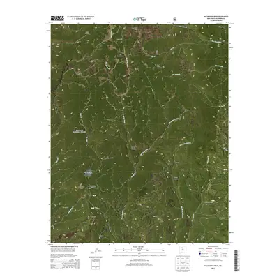
2013 Map of Nacimiento Peak
USGS Topo · Published 2013About this map
San Pedro Parks dominates the northern reaches of this landscape within the Santa Fe National Forest, characterized by high-elevation meadows and a complex drainage network. The terrain is defined by dramatic elevations, including Nacimiento Peak and the San Pedro Peaks, where numerous streams like Rio de las Vacas and Rito Resumidero originate. Historical land use is visible through markers such as the San Pedro Cabin and the open flats of American Park. Water management in this high-altitude environment is anchored by the San Gregorio Reservoir, while the presence of Nacimiento Campground and named areas like Vallecito Damian reflect a long-standing relationship between the high mesas and local activity. The map also reveals the distinct boundary lines of T22N and T21N across both R1E and R2E, providing a clear structural view of the Rio Arriba highlands.
Find a feature on this map
36 named features on this map. Tap any name to fly to it.
Don’t see what you’re looking for? This feature index may not catch every label — zoom into the map to look around manually.
Map Details
Editions of this 2013 Nacimiento Peak Map
This is the sole edition of this map. No revisions or reprints were ever made.
Other maps of this area

1890 · Jemes
USGS Topo · 1:125,000

1892 · Jemes
USGS Topo · 1:125,000

1909 · Gallina
USGS Topo · 1:125,000

1937 · Jemez Springs
USGS Topo · 1:48,000

1939 · La Ventana
USGS Topo · 1:62,500

1940 · Cuba
USGS Topo · 1:62,500

1943 · Cuba
USGS Topo · 1:62,500

1943 · La Ventana
USGS Topo · 1:62,500

1944 · Jemez Springs
USGS Topo · 1:62,500

1952 · Jemez Springs
USGS Topo · 1:62,500