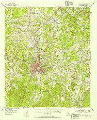
1952 Map of Nacogdoches
USGS Topo · Published 1953About this map
Nacogdoches serves as the hub of this 1952 survey, where the Texas And New Orleans and Southern Pacific railroads converge at the heart of the settlement. The map documents a dense network of rural life, including significant educational and religious institutions such as Stephen F Austin College and numerous country churches like Old North Ch and St James Ch. The landscape is etched with historical transit routes, notably the Old San Antonio Road cutting westward across the rolling terrain.
Find a feature on this map
63 named features on this map. Tap any name to fly to it.
Don’t see what you’re looking for? This feature index may not catch every label — zoom into the map to look around manually.
Map Details
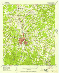
Editions of this 1952 Nacogdoches Map
3 editions found
Other maps of this area

1943 · Cushing
USGS Topo · 1:62,500

1945 · Cushing
USGS Topo · 1:62,500

1949 · Lufkin
USGS Topo · 1:62,500

1949 · Platt
USGS Topo · 1:24,000

1949 · Clawson
USGS Topo · 1:24,000

1950 · Platt
USGS Topo · 1:24,000

1950 · Clawson
USGS Topo · 1:24,000

1950 · Redland
USGS Topo · 1:24,000

1952 · Douglass
USGS Topo · 1:62,500

1952 · Nacogdoches
USGS Topo · 1:62,500