
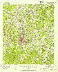
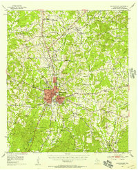
1952 Map of Nacogdoches
USGS Topo · Published 1953About this map
The historic town of Nacogdoches serves as the focal point of this early 1950s survey, revealing a landscape defined by deep-rooted East Texas settlements and the institutional presence of Stephen F Austin College. The city is flanked by distinctive landforms like Orton Hill and Orton Lake, while the Southern Pacific railroad and the Old San Antonio Road provide the primary structural axes for growth.
Find a feature on this map
69 named features on this map. Tap any name to fly to it.
Don’t see what you’re looking for? This feature index may not catch every label — zoom into the map to look around manually.
Map Details
Editions of this 1952 Nacogdoches Map
3 editions found
Other maps of this area

1943 · Cushing
USGS Topo · 1:62,500

1945 · Cushing
USGS Topo · 1:62,500

1949 · Lufkin
USGS Topo · 1:62,500

1949 · Platt
USGS Topo · 1:24,000

1949 · Clawson
USGS Topo · 1:24,000

1950 · Platt
USGS Topo · 1:24,000

1950 · Clawson
USGS Topo · 1:24,000

1950 · Redland
USGS Topo · 1:24,000

1952 · Douglass
USGS Topo · 1:62,500

1953 · Palestine
USGS Topo · 1:250,000