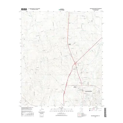
2016 Map of Nacogdoches North
USGS Topo · Published 2016About this map
The northern reaches of Nacogdoches expand toward several outlying communities in this modern survey. The map details the transition from the city's suburban edge to the rural timber and pasture lands of the Piney Woods. Settlement nodes like Central Heights, Redfield, and Bonita Junction are clustered along the primary highway corridors, while smaller locales such as Mahl sit further north. The landscape is defined by the dense drainage network of the Bayou Loco and Bayou La Nana systems, which feed several family-named impoundments including Earnest L Johnson Lake and Robert W Murphey Lake.
Find a feature on this map
117 named features on this map. Tap any name to fly to it.
Don’t see what you’re looking for? This feature index may not catch every label — zoom into the map to look around manually.
Map Details
Editions of this 2016 Nacogdoches North Map
This is the sole edition of this map. No revisions or reprints were ever made.
Other maps of this area

1943 · Cushing
USGS Topo · 1:62,500

1945 · Cushing
USGS Topo · 1:62,500

1952 · Douglass
USGS Topo · 1:62,500

1952 · Nacogdoches
USGS Topo · 1:62,500

1953 · Palestine
USGS Topo · 1:250,000

1957 · Palestine
USGS Topo · 1:250,000

1960 · Mount Enterprise
USGS Topo · 1:62,500

1973 · Cushing
USGS Topo · 1:24,000
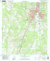
1983 · Nacogdoches South
USGS Topo · 1:24,000
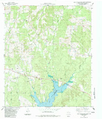
1983 · Lake Nacogdoches North
USGS Topo · 1:24,000