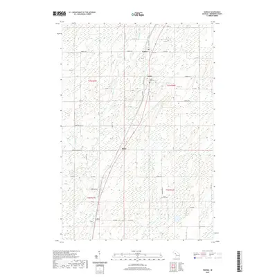
2019 Map of Nadeau
USGS Topo · Published 2019About this map
The Little Cedar River winds through this central Menominee County landscape, defining a corridor of settlement that follows the primary transportation line. Four distinct communities line the route from north to south: Nadeau, Carney, Bagley, and Talbot. This settlement pattern illustrates the enduring importance of the historic north-south travel ways in the Upper Peninsula, where towns were spaced at regular intervals to support local commerce and logging. The rural areas surrounding these hubs are dotted with communal sites of significance to genealogists, including Calvary Cem, Carney Village Cem, and the Swedish Cem. Smaller waterways like Poterfield Cr and Snow Cr weave through a terrain marked by extensive wetland systems, reflecting the low-lying, hydrologically complex character of the region.
Find a feature on this map
47 named features on this map. Tap any name to fly to it.
Don’t see what you’re looking for? This feature index may not catch every label — zoom into the map to look around manually.
Map Details
Editions of this 2019 Nadeau Map
This is the sole edition of this map. No revisions or reprints were ever made.
Other maps of this area

1949 · Stephenson
USGS Topo · 1:48,000

1954 · Escanaba
USGS Topo · 1:250,000

1957 · Escanaba
USGS Topo · 1:250,000

1958 · Escanaba
USGS Topo · 1:250,000

1963 · Bark River
USGS Topo · 1:62,500

1963 · Powers
USGS Topo · 1:62,500

1963 · Cedar River
USGS Topo · 1:62,500

1963 · Stephenson
USGS Topo · 1:62,500

1981 · Marinette
USGS Topo · 1:100,000

1982 · Escanaba
USGS Topo · 1:100,000