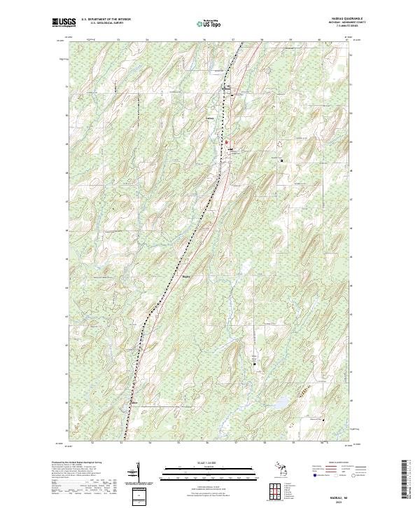
2023 Map of Nadeau
USGS Topo · Published 2023About this map
The Little Cedar River and its tributaries, including Snow Creek and Holmes Creek, define the landscape of this Menominee County interior. The settlement pattern here is dictated by the corridor of Old US Hwy 41, which connects the small communities of Nadeau, Carney, Bagley, and Talbot. This region retains a strong connection to its pioneer and immigrant roots, evidenced by the clustered local cemeteries such as Swedish Cem, Maple Grove Cem, and Calvary Cem.
Find a feature on this map
51 named features on this map. Tap any name to fly to it.
Don’t see what you’re looking for? This feature index may not catch every label — zoom into the map to look around manually.
Map Details
Editions of this 2023 Nadeau Map
This is the sole edition of this map. No revisions or reprints were ever made.
Other maps of this area

1949 · Stephenson
USGS Topo · 1:48,000

1954 · Escanaba
USGS Topo · 1:250,000

1957 · Escanaba
USGS Topo · 1:250,000

1958 · Escanaba
USGS Topo · 1:250,000

1963 · Bark River
USGS Topo · 1:62,500

1963 · Powers
USGS Topo · 1:62,500

1963 · Cedar River
USGS Topo · 1:62,500

1963 · Stephenson
USGS Topo · 1:62,500

1981 · Marinette
USGS Topo · 1:100,000

1982 · Escanaba
USGS Topo · 1:100,000