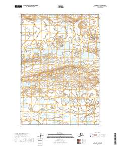
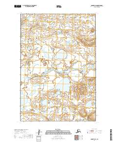
2019 Map of Naknek A-3 NW
USGS Topo · Published 2019About this map
Egegik River and its tributary drainage define this low-lying Alaskan landscape near the base of the Alaska Peninsula. The territory is dominated by an extensive network of wetlands and small ponds, characteristic of the region's hydrography as documented by the U.S. Geological Survey. This particular area is remarkably sparse in human development, focusing instead on the natural water systems like Shosky Cr. The map provides a precise look at the township and range divisions, including t23s r47w and t24s r46w, which are essential for locating specific land parcels in this remote part of Lake and Peninsula Borough.
Find a feature on this map
8 named features on this map. Tap any name to fly to it.
Don’t see what you’re looking for? This feature index may not catch every label — zoom into the map to look around manually.
Map Details
Editions of this 2019 Naknek A-3 NW Map
This is the sole edition of this map. No revisions or reprints were ever made.
Other maps of this area

1951 · Naknek A-4
USGS Topo · 1:63,360

1951 · Naknek A-3
USGS Topo · 1:63,360

1952 · Naknek
USGS Topo · 1:250,000

1952 · Naknek B-3
USGS Topo · 1:63,360

1952 · Naknek B-4
USGS Topo · 1:63,360

1964 · Naknek
USGS Topo · 1:250,000
2019 · Naknek B-3 SE
USGS Topo · 1:25,000
2019 · Naknek A-3 NE
USGS Topo · 1:25,000
2019 · Naknek A-3 SW
USGS Topo · 1:25,000
2019 · Naknek B-4 SE
USGS Topo · 1:25,000