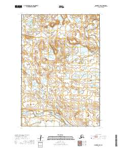
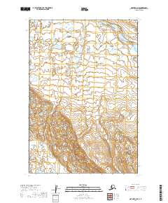
2019 Map of Naknek B-2 SW
USGS Topo · Published 2019About this map
King Salmon River meanders across this low-lying landscape in the Lake and Peninsula Borough, reflecting the hydrologic patterns of the Bristol Bay region. The terrain is defined by a dense network of small lakes and wetlands, typical of the subarctic tundra found within these township boundaries. This 2019 survey, based on hydrography data spanning back to 1899, provides a precise record of the river's course as it flows through t22s r45w and t22s r44w. The map serves as a essential resource for understanding the water-dominant geography of this remote interior region where established settlements and roads are absent.
Find a feature on this map
5 named features on this map. Tap any name to fly to it.
Don’t see what you’re looking for? This feature index may not catch every label — zoom into the map to look around manually.
Map Details
Editions of this 2019 Naknek B-2 SW Map
This is the sole edition of this map. No revisions or reprints were ever made.
Other maps of this area

1951 · Naknek A-2
USGS Topo · 1:63,360

1951 · Naknek A-3
USGS Topo · 1:63,360

1952 · Naknek
USGS Topo · 1:250,000

1952 · Naknek B-3
USGS Topo · 1:63,360

1952 · Naknek B-2
USGS Topo · 1:63,360

1964 · Naknek
USGS Topo · 1:250,000
2019 · Naknek B-3 SE
USGS Topo · 1:25,000
2019 · Naknek B-3 NE
USGS Topo · 1:25,000
2019 · Naknek A-3 NE
USGS Topo · 1:25,000
2019 · Naknek A-2 NW
USGS Topo · 1:25,000