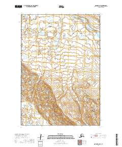
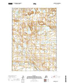
2019 Map of Naknek A-2 NW
USGS Topo · Published 2019About this map
The King Salmon River flows through the northern reaches of this section of the Alaska Peninsula, winding through a landscape shaped by glacial and alluvial processes. This 2019 survey documents the vast, low-lying drainage basins where smaller tributaries like Shosky Cr feed into the regional waterway system. The map provides a clear look at the Public Land Survey System grid across portions of Lake and Peninsula Borough, specifically within townships such as t22s r44w and t23s r45w. These surveyor designations reveal how the territory is legally partitioned in a region where few permanent settlements or roads are established, highlighting the remote and wild character of the terrain between the river valley and the rising elevations to the south.
Find a feature on this map
8 named features on this map. Tap any name to fly to it.
Don’t see what you’re looking for? This feature index may not catch every label — zoom into the map to look around manually.
Map Details
Editions of this 2019 Naknek A-2 NW Map
This is the sole edition of this map. No revisions or reprints were ever made.
Other maps of this area

1951 · Naknek A-2
USGS Topo · 1:63,360

1951 · Naknek A-3
USGS Topo · 1:63,360

1952 · Naknek
USGS Topo · 1:250,000

1952 · Naknek B-3
USGS Topo · 1:63,360

1952 · Naknek B-2
USGS Topo · 1:63,360

1964 · Naknek
USGS Topo · 1:250,000
2019 · Naknek B-3 SE
USGS Topo · 1:25,000
2019 · Naknek A-2 SE
USGS Topo · 1:25,000
2019 · Naknek A-3 NE
USGS Topo · 1:25,000
2019 · Naknek B-2 SW
USGS Topo · 1:25,000