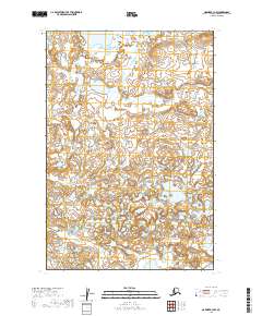
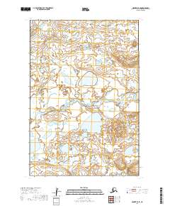
2019 Map of Naknek B-3 NW
USGS Topo · Published 2019About this map
Hydrological patterns dominate this landscape within the Lake and Peninsula Borough of Alaska, where a dense network of unnamed lakes and interconnected wetlands stretches across several townships. The terrain is relatively low-lying, characterized by a complex of small water bodies and seasonal drainage basins. This 2019 survey provides a precise look at the Public Land Survey System (PLSS) divisions, primarily centered on T20s R46w and its neighboring sections.
Find a feature on this map
6 named features on this map. Tap any name to fly to it.
Don’t see what you’re looking for? This feature index may not catch every label — zoom into the map to look around manually.
Map Details
Editions of this 2019 Naknek B-3 NW Map
This is the sole edition of this map. No revisions or reprints were ever made.
Other maps of this area

1952 · Naknek
USGS Topo · 1:250,000

1952 · Naknek B-3
USGS Topo · 1:63,360

1952 · Naknek B-4
USGS Topo · 1:63,360

1952 · Naknek C-3
USGS Topo · 1:63,360

1952 · Naknek C-4
USGS Topo · 1:63,360

1964 · Naknek
USGS Topo · 1:250,000
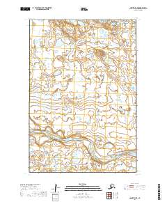
2019 · Naknek B-3 SE
USGS Topo · 1:25,000
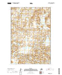
2019 · Naknek B-3 NE
USGS Topo · 1:25,000
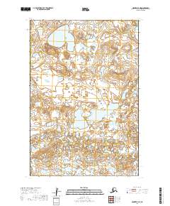
2019 · Naknek B-4 NE
USGS Topo · 1:25,000
2019 · Naknek B-4 SE
USGS Topo · 1:25,000